
Coastlines of Floating Forests
Some of you have noted in earlier posts of this preliminary dataset that some classifications show up on land – particularly at low thresholds. This is likely due to some images being served up that, shouldn’t have been (we’ve fixed this in the new pipeline), and the zeal of some classifiers. Regardless, we can crop out those areas, as we know that there’s no real kelp there. But do to it, we need some very very good maps of the coastline. Fortunately, there’s a solution!
The Global Self-consistent, Hierarchical, High-resolution Geography Database is an incredible resource, with some coastline data files that are remarkable in their detail. The data is also, of course, huge. So, for anyone playing along at home, we’ve subsetting it down to a few files for you delectation. These are all in the common ESRI Shapefile format, but if folks want them otherwise, we’re happy to provide. Here’s what we’ve created for you. Click on the names of the areas below to download the zip files.
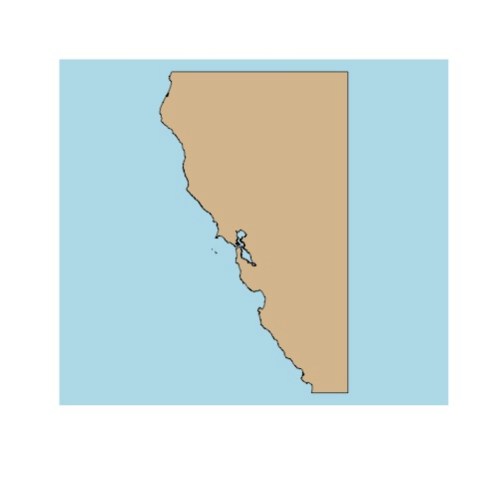
First, California
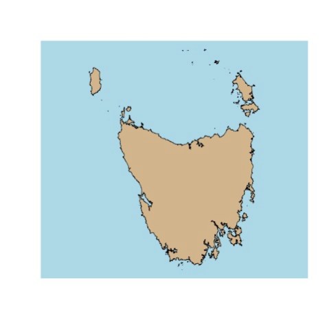
Then, Tasmania
And last, the absolutely stunning Falkland Islands

When we used them for coastal cropping, they worked great – we’ll show some timeseries with cropped data next week!

Red areas are in the ocean, blue is on land.

Recent Comments